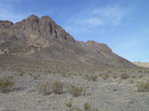
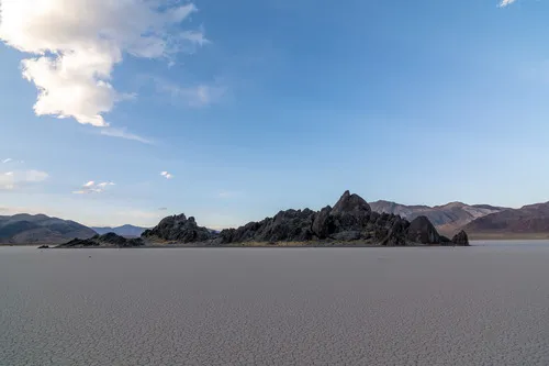
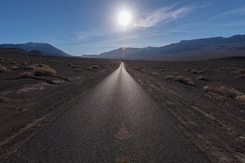
Upper Titus Canyon – Death Valley National Park

Walk up a colorful desert canyon to a narrow canyon. Total Distance: 9.5 miles out & back Elevation Gain: 2,435ft. (3,745ft. to 6,140ft.) Difficulty: Very Strenuous 5-10 Mile Difficulty: Very Strenuous View Rating: Author’s Rating: Visitor Rating: Visitor Difficulty Rating: Pets: No Horses: Yes Best Seasons: November-April Special Permits: None Water Availability: None Overnight Options: […]

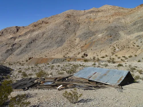
Leadfield – Death Valley National Park

Explore a ghost town deep within the Grapevine Mountains of Death Valley National Park. The area is on the National Register of Historic Places. Total Distance: 0.6 miles out & back with spur Elevation Gain: 181ft. (3,980ft. to 4,034ft.) Difficulty: Easy 0-5 Mile Difficulty: Easy View Rating: Author’s Rating: Visitor Rating: Visitor Difficulty Rating: Pets: […]

Thimble Peak – Death Valley National Park

Scramble up a peak to spectacular views of Death Valley, the High Sierras, and more. Total Distance: 3.5 miles out & back Elevation Gain: 1,900ft. (5,260ft. to 6,268ft.) Difficulty: Moderately Strenuous 0-5 Mile Difficulty: Very Strenuous View Rating: Author’s Rating: Visitor Rating: Visitor Difficulty Rating: Pets: No Horses: Yes Best Seasons: November-April Special Permits: None […]

Titanothere Canyon Shuttle Hike – Death Valley National Park

Hike down a remote desert canyon from Titus Canyon Road to Scotty’s Castle Road. Total Distance: 11.2 mile shuttle Elevation Gain: 23ft. up, 4,925ft. down (4,997ft. to 94ft.) Difficulty: Easy going downcanyon; Very Extremely Strenuous going upcanyon 10+ Mile Difficulty: Easy going downcanyon; Extremely Strenuous going upcanyon View Rating: Author’s Rating: Visitor Rating: Visitor Difficulty […]

Titanothere Canyon to Lostman Spring – Death Valley National Park

Hike down a remote desert canyon to a spring. Total Distance: 8.5 miles out & back Elevation Gain: 2,069t. (4,997ft. to 3,046ft.) Difficulty: Strenuous 0-5 Mile Difficulty: Very Strenuous View Rating: Author’s Rating: Visitor Rating: Visitor Difficulty Rating: Pets: No Horses: Yes Best Seasons: November-April Special Permits: None Water Availability: No potable water Overnight Options: […]

Block Peak – Death Valley National Park

Hike up a remote desert peak in the Grapevine Mountains. Total Distance: 1.2 miles out & back Elevation Gain: 833ft. (5,111ft. to 5,910ft.) Difficulty: Moderate 0-5 Mile Difficulty: Moderately Strenuous View Rating: Author’s Rating: Visitor Rating: Visitor Difficulty Rating: Pets: No Horses: Yes Best Seasons: November-April Special Permits: None Water Availability: None Overnight Options: None […]

Titanothere Peak – Death Valley National Park

Hike up a remote desert peak in the Grapevine Mountains. Total Distance: 3.8 miles out & back Elevation Gain: 1,647t. (4,807ft. to 6,120ft.) Difficulty: Moderately Strenuous 0-5 Mile Difficulty: Very Strenuous View Rating: Author’s Rating: Visitor Rating: Visitor Difficulty Rating: Pets: No Horses: Yes Best Seasons: November-April Special Permits: None Water Availability: None Overnight Options: […]

Willow Spring (Titus Canyon) – Death Valley National Park

Follow a wash to a remote spring in the eastern portion of Death Valley National Park. Total Distance: 3.4 miles out & back Elevation Gain: 608ft. (4,603ft. to 4,822ft.) Difficulty: Moderate 0-5 Mile Difficulty: Moderately Strenuous View Rating: Author’s Rating: Visitor Rating: Visitor Difficulty Rating: Pets: No Horses: Yes Best Seasons: November-April Special Permits: None […]

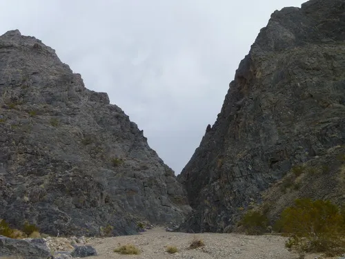
Titus Canyon Narrows – Death Valley National Park

Hike the road through the Titus Canyon Narrows to interesting rock walls, a spring, rock art, and more. Total Distance: Up to 15.6 miles out & back Elevation Gain: Up to 4,419ft. (928ft. to 3,745ft.) Difficulty: Easy to Very Extremely Strenuous 5+ Mile Difficulty: Easy to Very Extremely Strenuous View Rating: Author’s Rating: Visitor Rating: […]

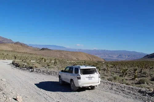
Titus Canyon Road – Death Valley National Park

Follow a gravel road to views, an old mining community, petroglyphs, and a slot canyon. Total Distance: 26.3 miles point to point (one-way road) Elevation Gain: 3,060ft. up, 6,302ft. down (5,261ft. to 175ft.) Road Difficulty: 1.5 Bicycle Difficulty: More Difficult View Rating: Author’s Rating: Visitor Rating: Visitor Difficulty Rating: Pets: Leashed Horses: Yes Best Seasons: […]