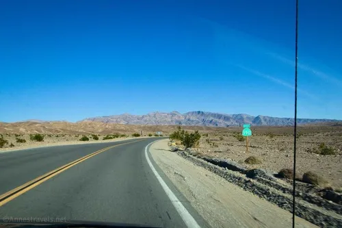
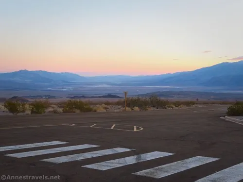
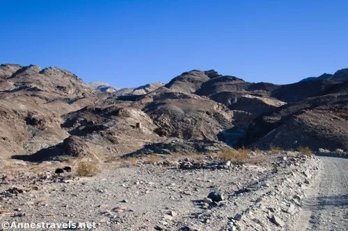
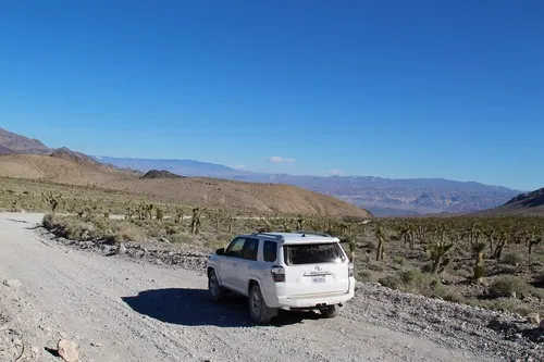
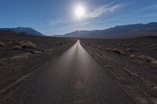
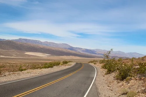
Hole in the Wall Road – Death Valley National Park

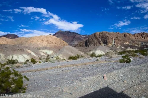
Gravel/dirt road that gives access to Hole in the Wall and an old (mostly undeveloped) mining area. Total Distance: 6.0 miles point-to-point (dead end) Elevation Gain: 1,573ft. up, 5ft. down (992ft. to 2,562ft.) Road Difficulty: 1.2 for the first 3 miles; 2.0 beyond Bicycle Difficulty: More Difficult View Rating: Author’s Rating: Visitor Rating: Visitor Difficulty […]

Lee’s Camp Road – Death Valley National Park

Rough gravel/dirt road through mining country in the Funeral Mountains and past Lee’s Camp to a point near the “town” of Amargosa Valley. Total Distance: 18.2 miles point-to-point Elevation Gain: 1,658ft. up, 2,849ft. down (2,381ft. to 4,857ft.) Road Difficulty: 2.5+; 2.0 for southern 3 miles; 1.6 for northern 7.6 miles Bicycle Difficulty: Very Difficult View […]

CA-190: Furnace Creek to Stovepipe Wells

The main road through Death Valley between Furnace Creek and Stovepipe Wells. This guide begins where CA-190: Eastern border to Furnace Creek leaves off at Stovepipe Wells and connects to CA-190: Stovepipe Wells to Western Border. Total Distance: 24.2 miles point to point Elevation Gain: 1,049ft. up, 886ft. down (-249ft. to 150ft.) Road Difficulty: 0.6 […]

Echo Canyon Road – Death Valley National Park

Gravel/dirt road that gives access to Eye of the Needle Arch and the Inyo Mine. Total Distance: 10.9 miles point to point Elevation Gain: 3,729ft. up, 27.5ft. down (410ft. to 4,120ft.) Road Difficulty: 1.4 for the first 3 miles; 2.0 beyond Bicycle Difficulty: Very Difficult View Rating: Author’s Rating: Visitor Rating: Visitor Difficulty Rating: Pets: […]

Beatty Cutoff Road – Death Valley National Park

Cutoff road between CA-190 and the Daylight Pass Road. The southern end is at Beatty Junction and the northern end is at Hell’s Gate. Total Distance: 10.0 miles point to point Elevation Gain: 2,502ft. gain, 32ft. loss (-201ft. to 2,269ft.) Road Difficulty: 0.6 Bicycle Difficulty: Easy View Rating: Rating: Visitor Rating: Visitor Difficulty Rating: Pets: […]

Keane Wonder Access Road – Death Valley National Park

The gravel road used to access the Keane Wonder Trailhead. Total Distance: 2.8 miles point to point (dead end) Elevation Gain: 665ft. up, 230ft. down (676ft. to 1,325ft.) Road Difficulty: 1.2 Bicycle Difficulty: More Difficult View Rating: Rating: Visitor Rating: Visitor Difficulty Rating: Pets: Yes Horses: No Best Seasons: October-May Special Permits: None. Gate closes […]

Racetrack Road – Death Valley National Park

A rough, unpaved, high-clearance-only road that leads to the famous lakebed with mysteriously moving rocks. Do not walk on the playa (mud) if it is wet. Total Distance: 29.5 miles point to point Elevation Gain: 2,693ft. up, 1,419ft. down (2,476ft. to 4,956ft.) Road Difficulty: 1.9 Bicycle Difficulty: More Difficult View Rating: Author’s Rating: Visitor Rating: […]

Ubehebe Crater Road – Death Valley National Park

Drive a paved road up to the Ubehebe Crater Trailhead and the beginning of the Racetrack Road. Total Distance: 6.25 miles point to point Elevation Gain: 666ft. up, 490ft. down (2,023ft. to 2,691ft.) Road Difficulty: 0.8 Bicycle Difficulty: Easy View Rating: Author’s Rating: Visitor Rating: Visitor Difficulty Rating: Pets: Leashed Horses: No Best Seasons: October-May […]

Scotty’s Castle Road – Death Valley National Park

Paved road that travels north from the main part of Death Valley, up past Scotty’s Castle and Grapevine Canyon, and eventually to US-95 in Nevada. The road offers access to Fall Canyon/Titus Canyon Narrows, Ubehebe Crater, and other exploration opportunities. Total Distance: 62.3 miles point to point Elevation Gain: 4,957ft. up, 1,000ft. down (-26ft. to […]