
Desolation Canyon – Death Valley National Park


A short hike through a colorful desert canyon to views of Artist Drive and Badwater Flats. The canyon appears in the first 20 minutes of Star Wars: Episode IV – A New Hope.
| Total Distance: 3.6 miles out & back | Elevation Gain: 961ft. (-75ft. to 723ft.) |
| Difficulty: Moderate | 0-5 Mile Difficulty: Strenuous |
| View Rating: 3.0 out of 5.0 stars | Author’s Rating: 3.0 out of 5.0 stars |
| Visitor Rating: (Click to rate) [Total: 0 Average: 0] | Visitor Difficulty Rating: (Click to rate) [Total: 0 Average: 0] |
| Pets: No | Horses: No |
| Best Seasons: November-April | Special Permits: None |
| Water Availability: None | Overnight Options: None |
| Trailhead Amenities: None | Crowd Factor: Moderate |
| Trailhead Access: 1.1 | |
| Uses: | Trail Surface: |
| Features: | Hazards: |
Mile-by-Mile: Desolation Canyon Trail
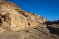
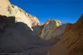
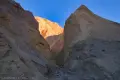
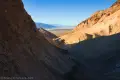
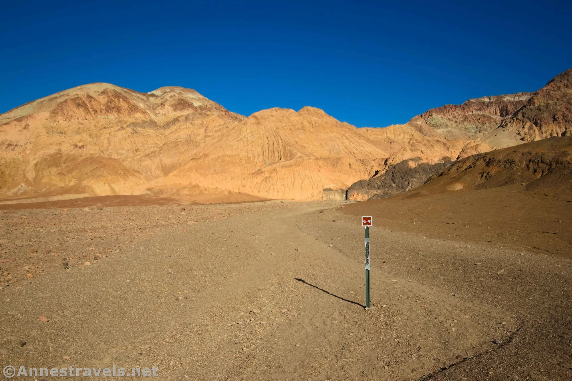
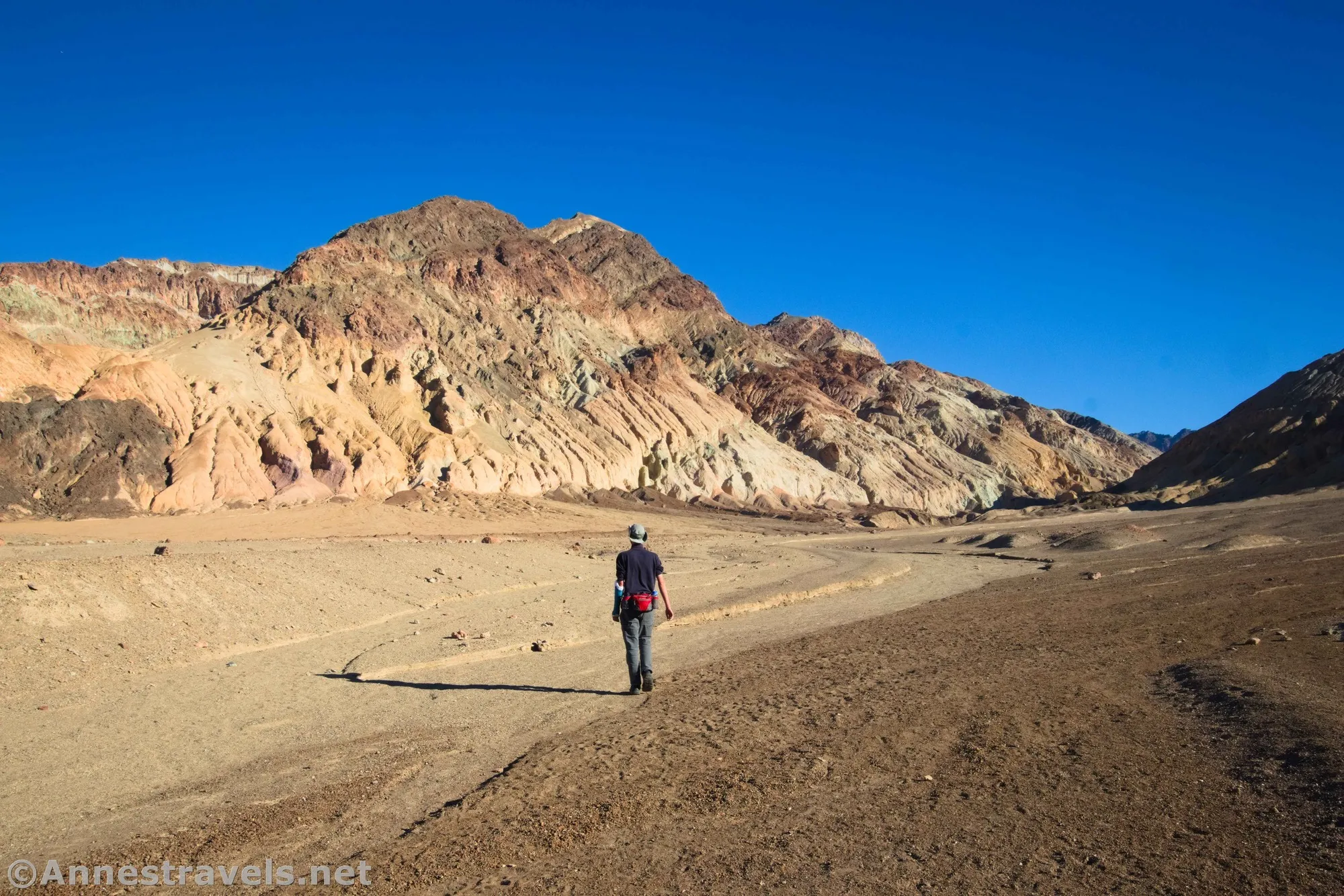
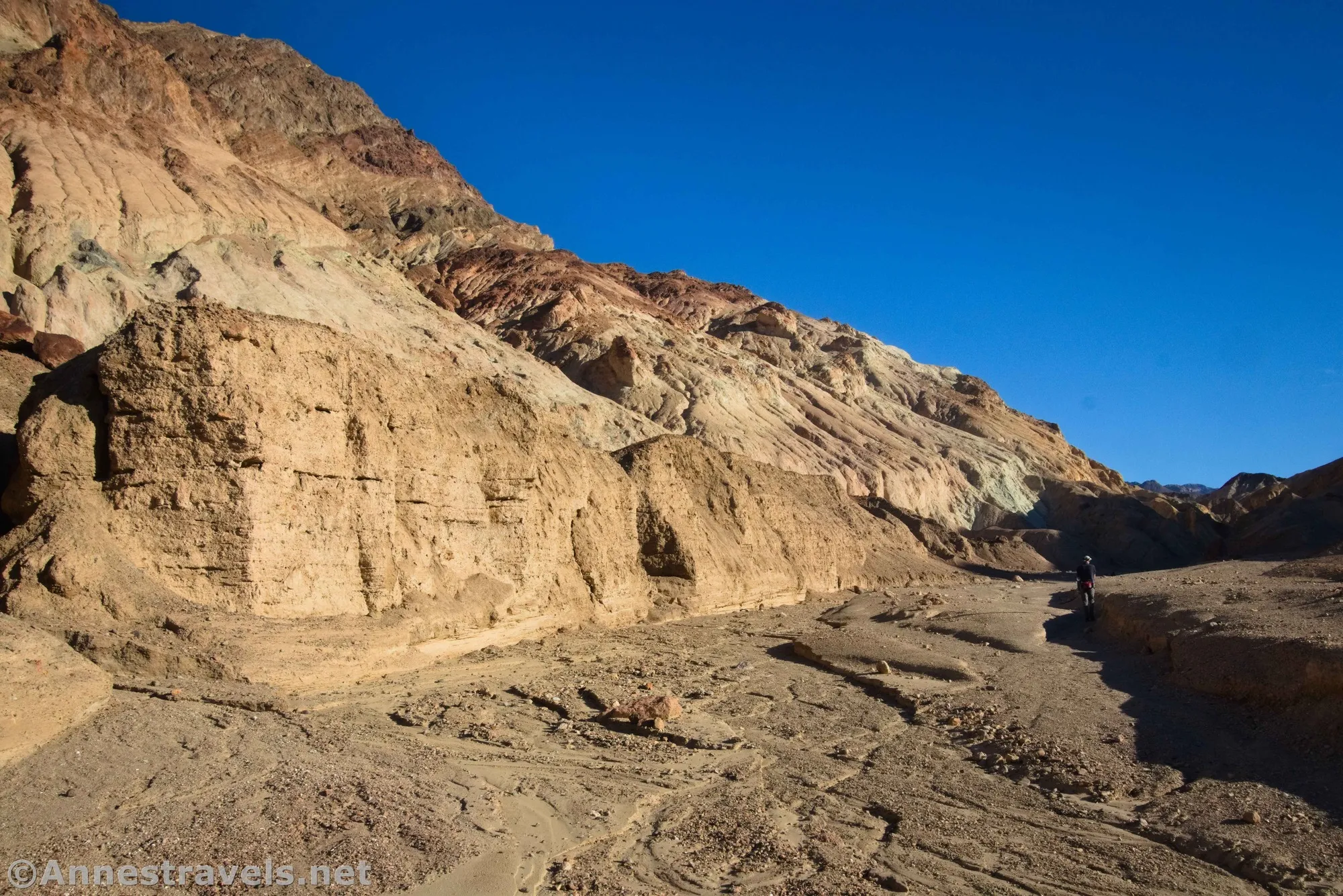
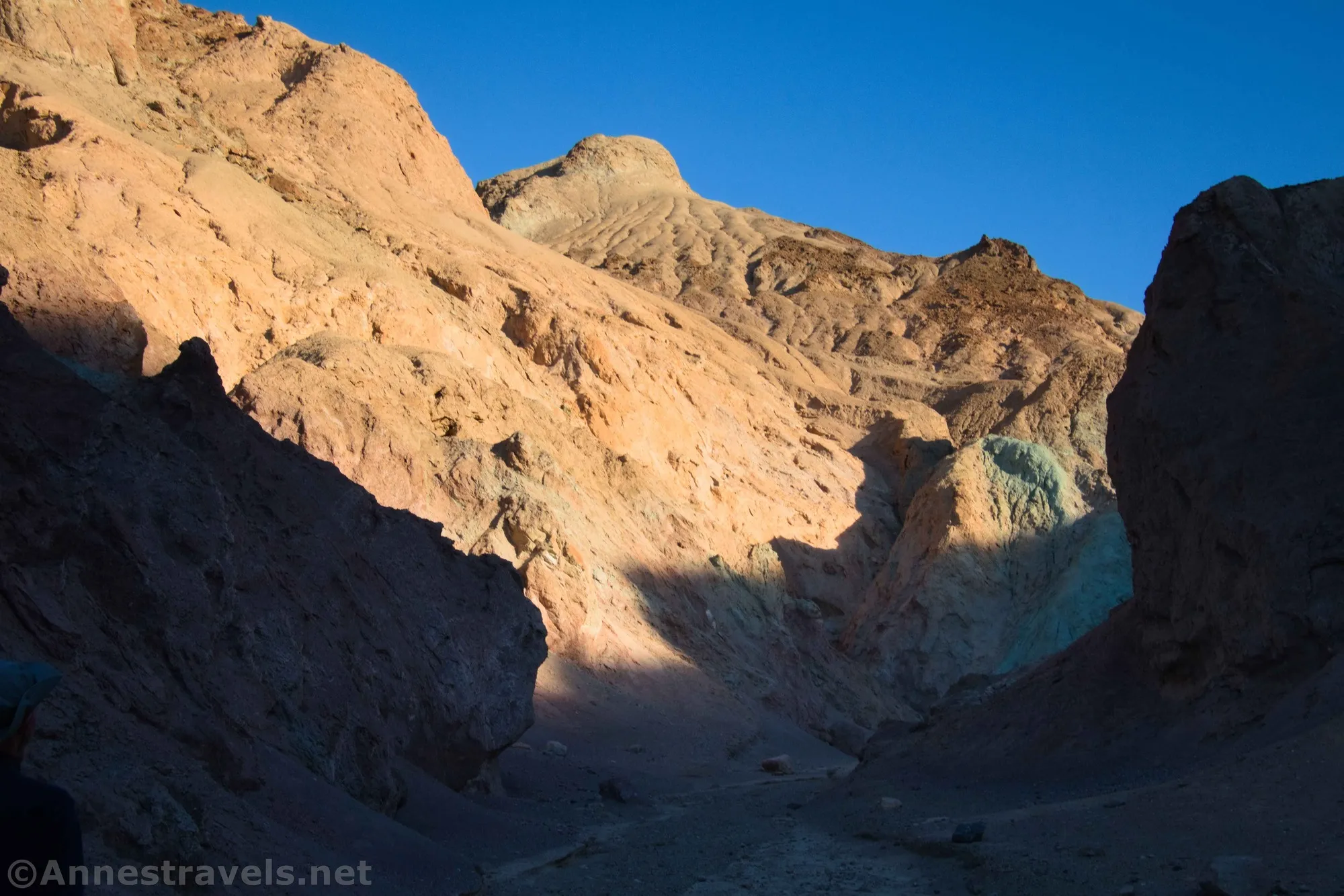
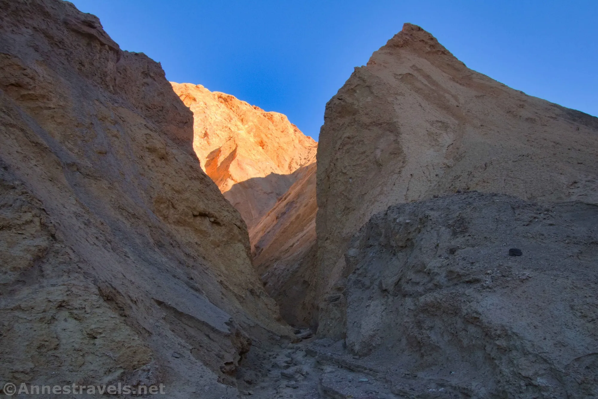
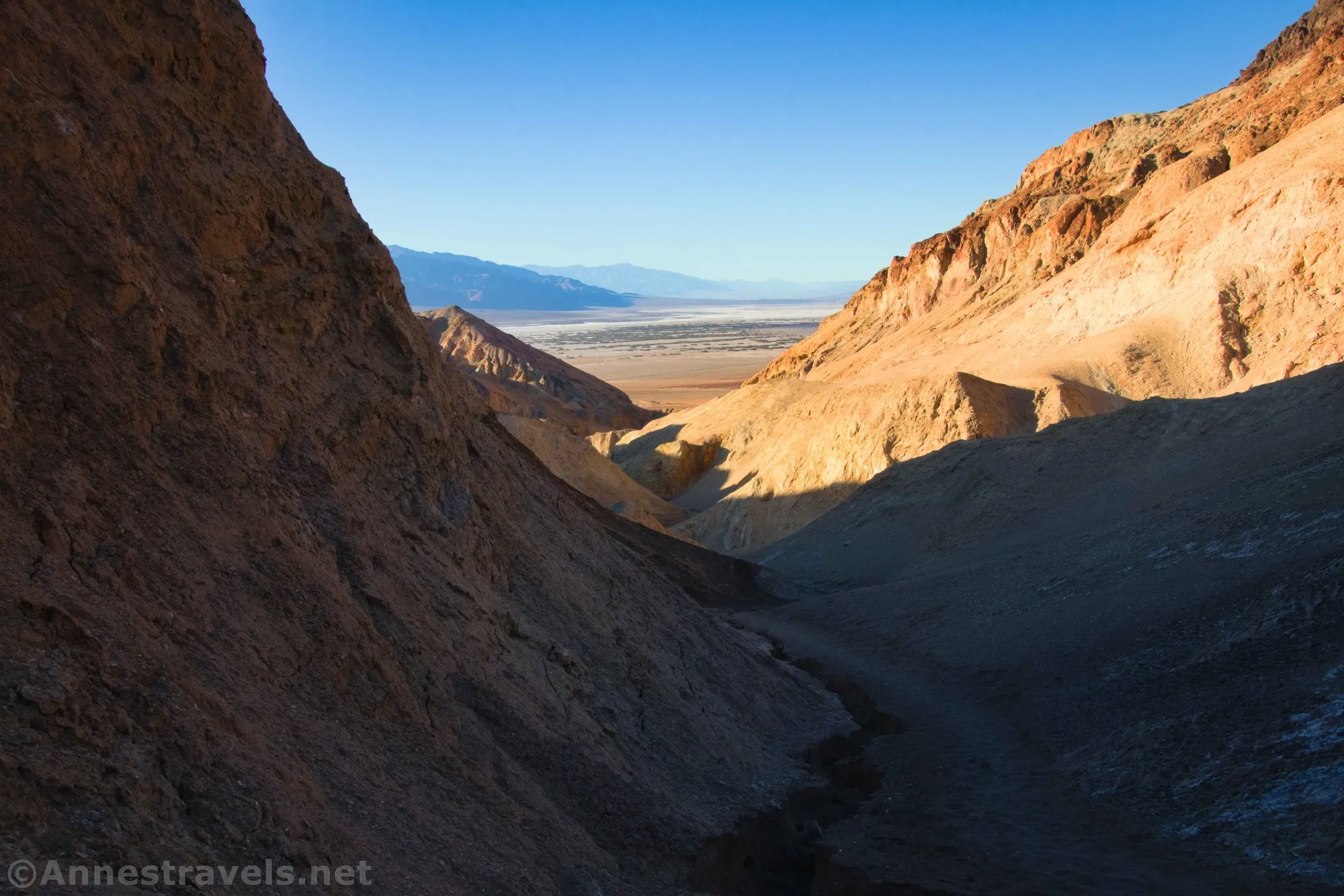
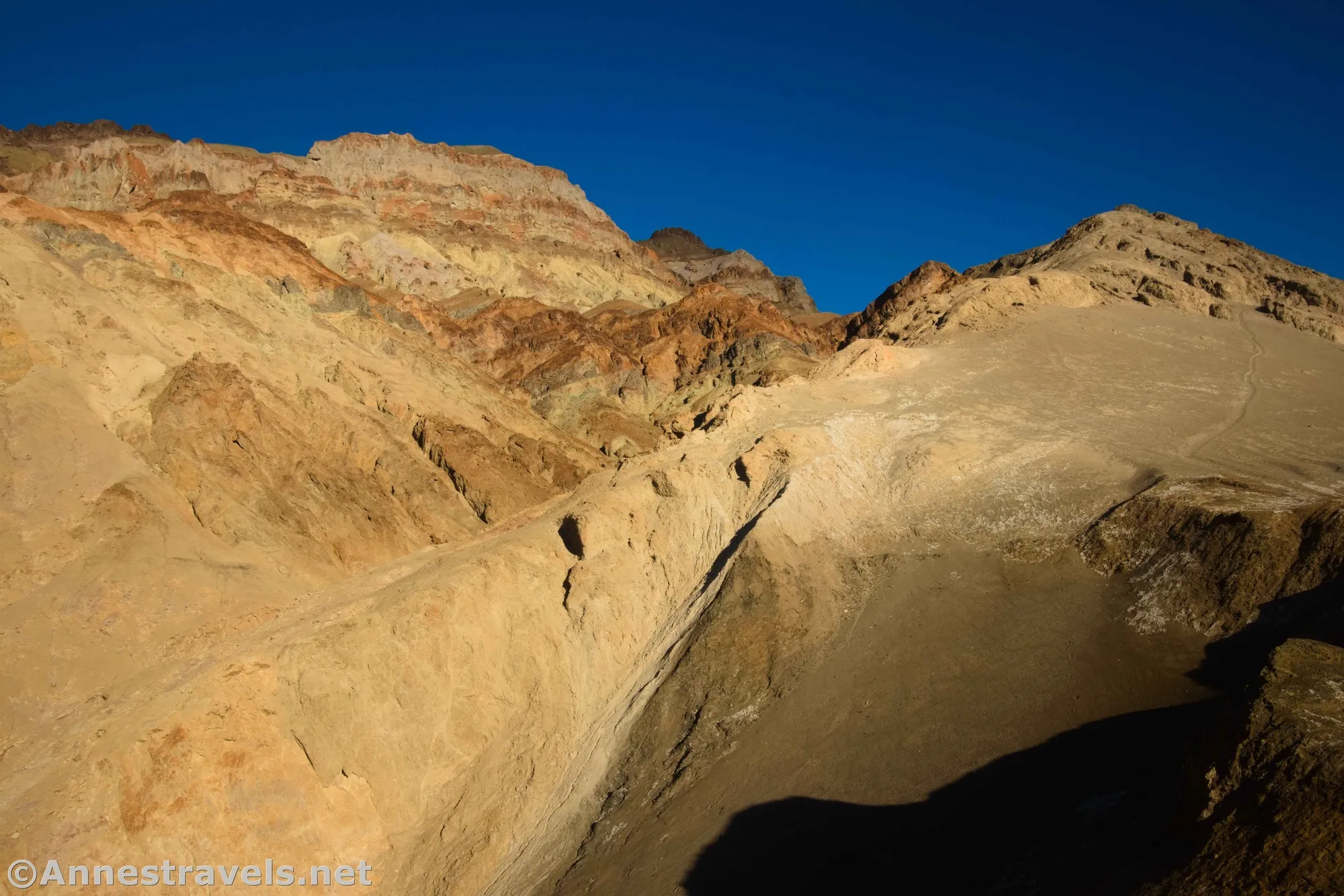
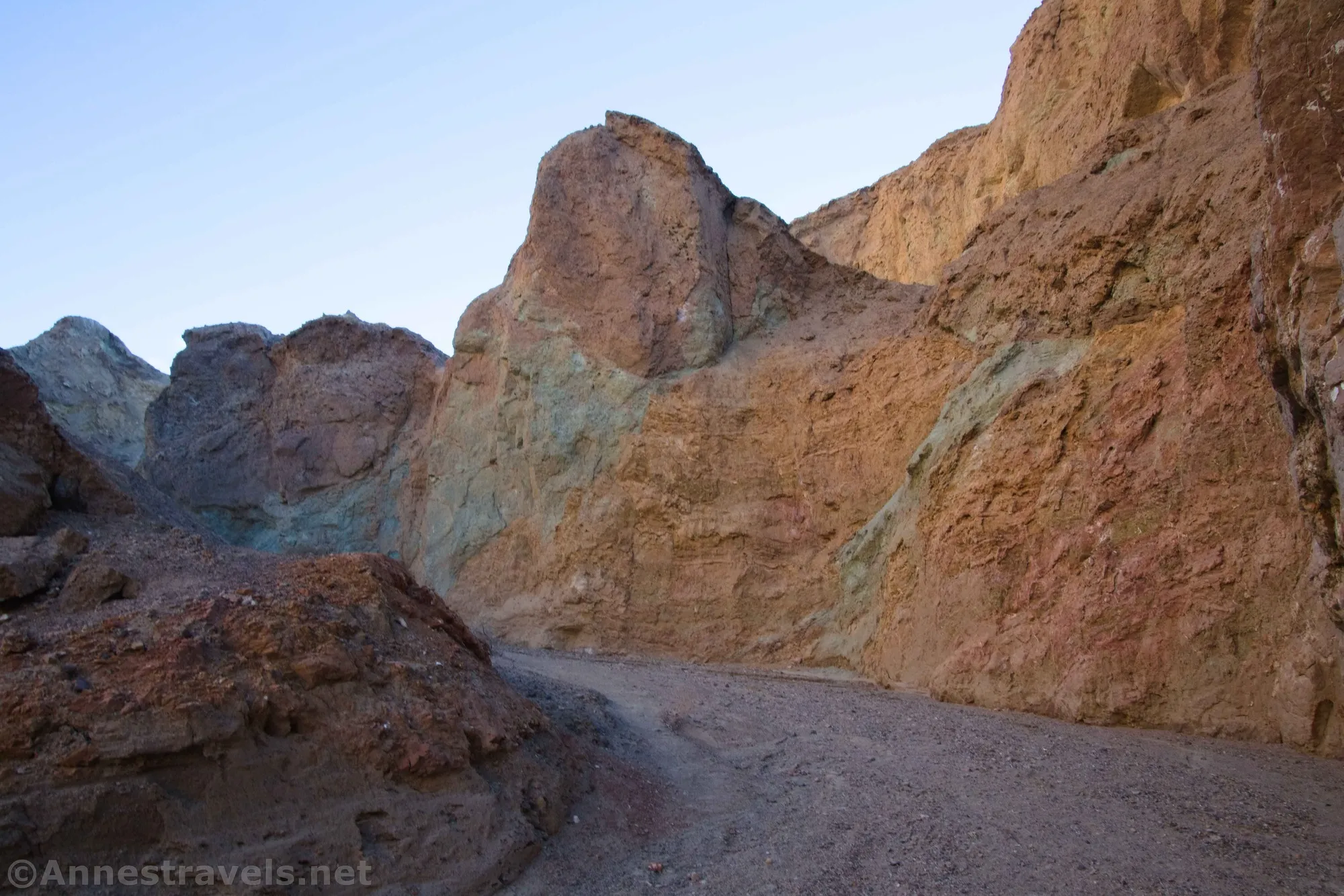
0.0 Desolation Canyon Trailhead (-75ft.). Take the larger canyon to the northeast to follow what was once a road down to the wash (the south canyon (on the right) is another fork of Desolation Canyon, but it’s not the route we want for this hike). The canyon narrows about mile 0.7; side canyons offer some short but interesting slots that can be explored. The walls are often colorful, similar to (if slightly more muted than) Artist Palette. (36.395828°, -116.838513°)
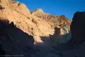
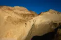
1.0 Dryfall (285ft.). An 8ft. dryfall blocks the way higher into the canyon. Scramble up carefully. (36.388281°, -116.825415°)
1.1 Dryfall (329ft.). Scramble up a 6ft. dryfall to continue upcanyon. (36.387788°, -116.824394°)
1.5 Side Canyon (496ft.). Go right, not left up the side canyon. (36.384590°, -116.820866°)
1.6 Side Canyon (564ft.). Go right, not left up the main canyon – taking the left fork would bring you to a 30ft. dryfall after 600ft. (A bypass may be located a few feet back down the canyon on the south side.) The official Desolation Canyon route scrambles up a sandy path to a viewpoint on a promontory about 600ft. above the valley. (36.383547°, -116.819134°)
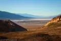
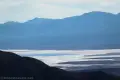
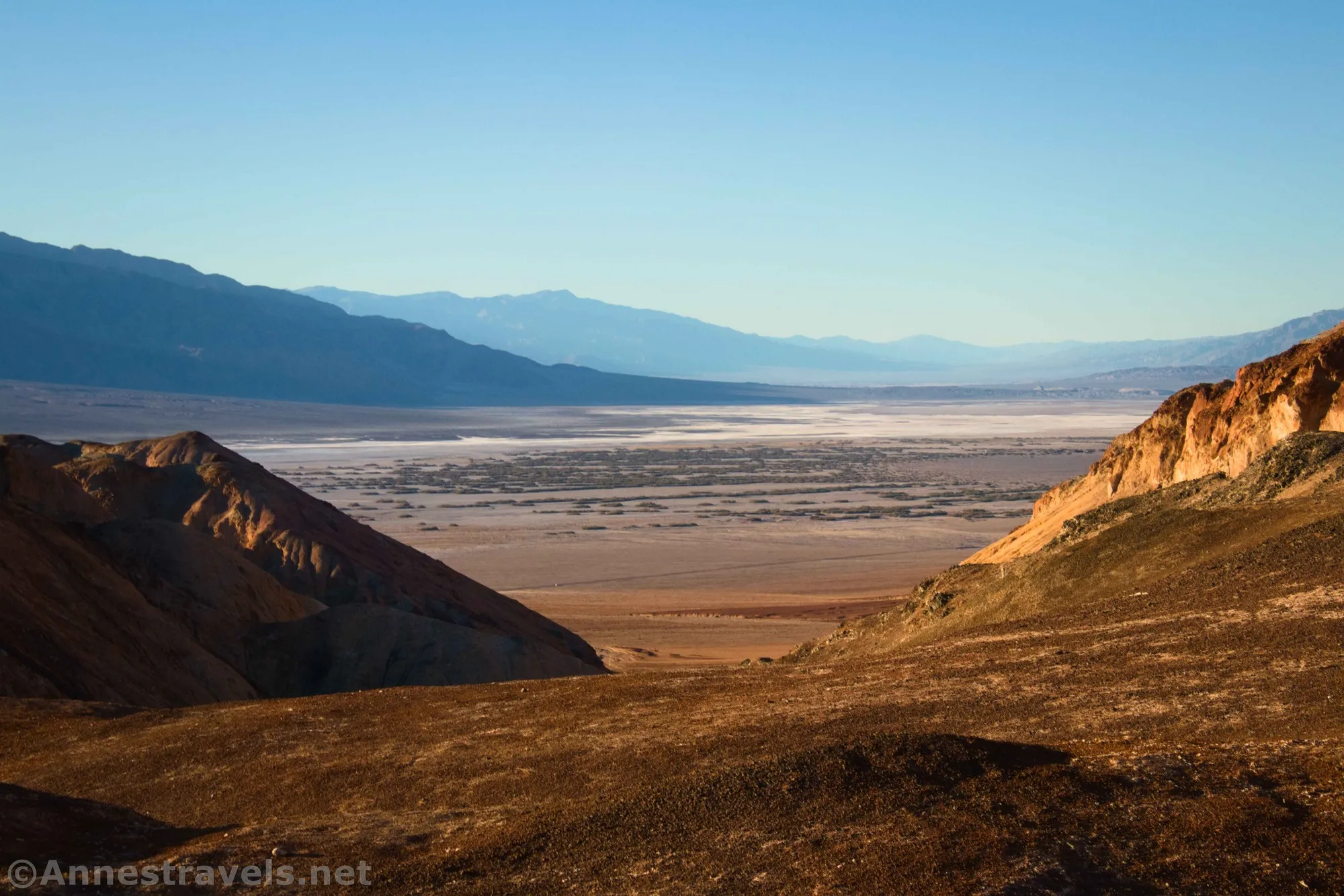
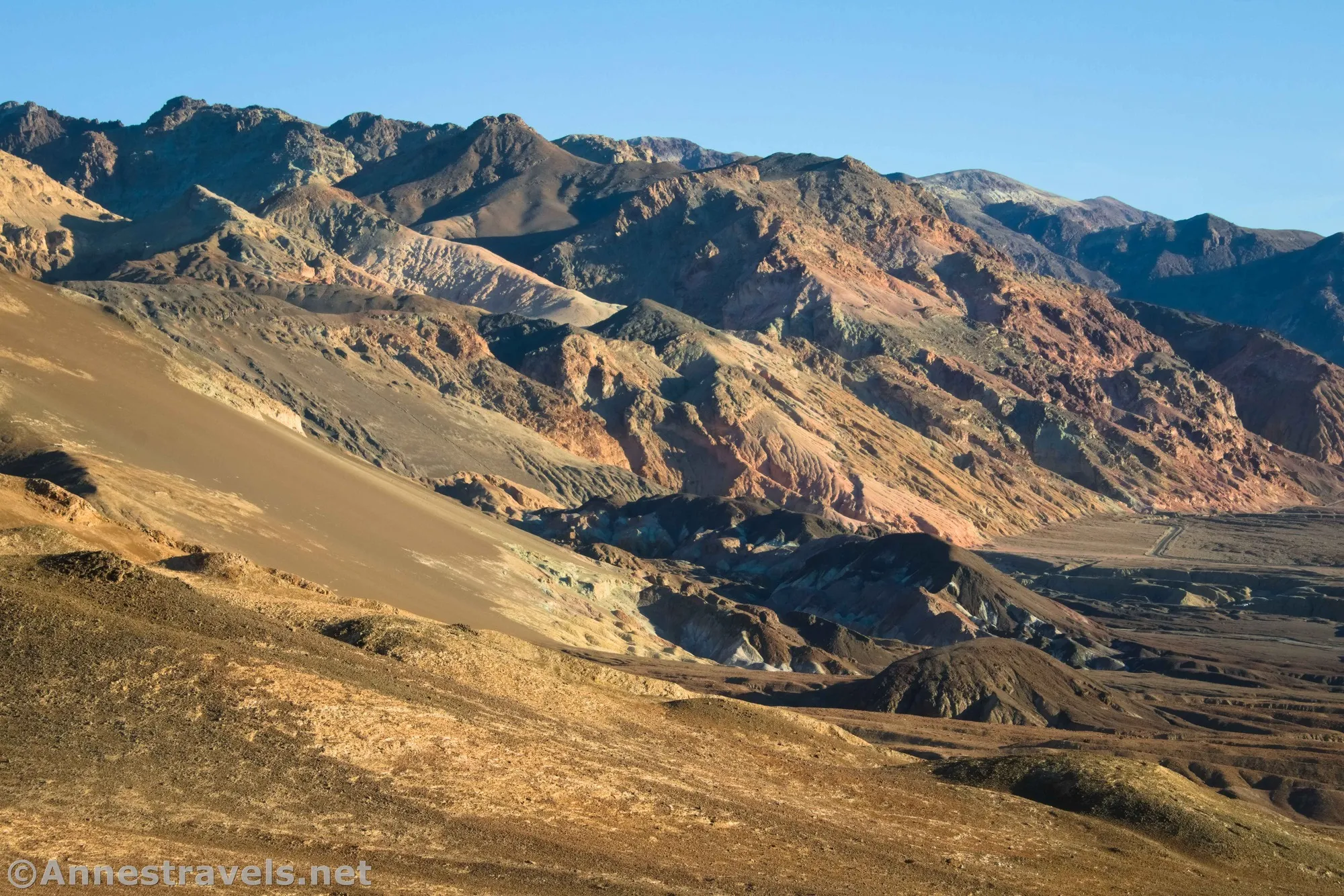
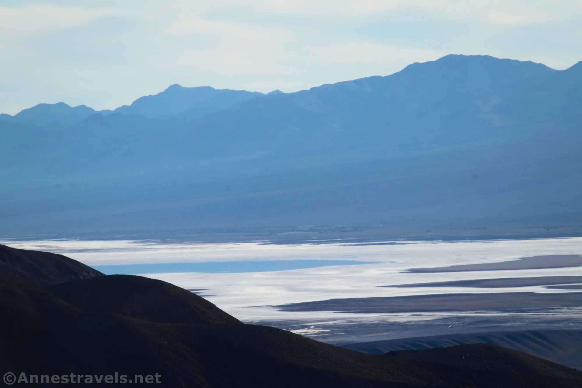
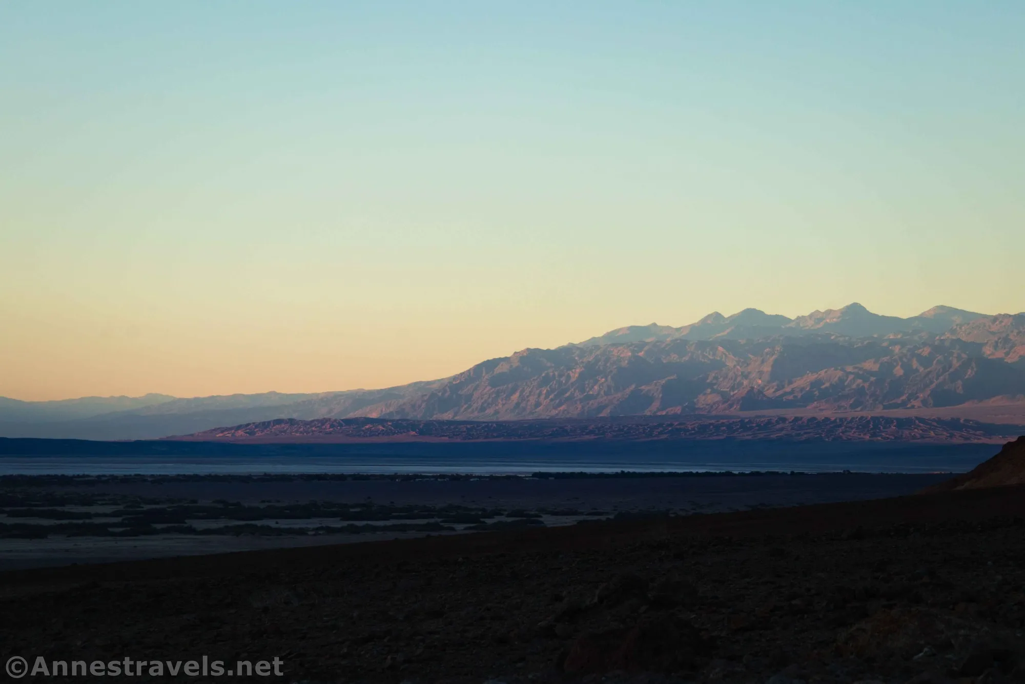
1.8 Promontory/Viewpoint (723ft.). Enjoy views down on Artist Drive as well as out across Badwater Flats to Telescope Peak. To the north are yellow mountains (northeast) and Furnace Creek (northwest). The route continues, but this is the official end of the hike. (36.382447°, -116.817558°)
History & More
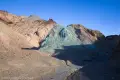
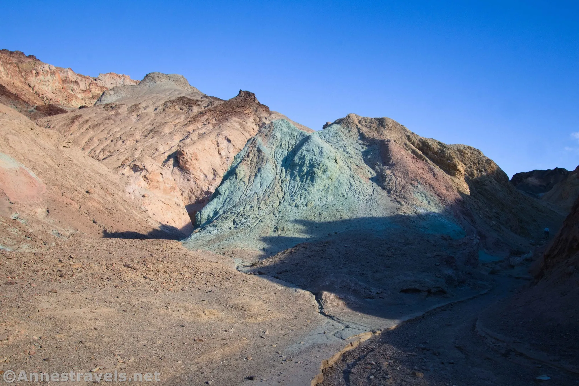
Many of the yellow-tinted rocks in Death Valley have a high concentration of Limonite, a type of iron ore. The purple and red/orange rocks have hematite in them, and green or blue rock is comprised of chlorite or nontronite.
Desolation Canyon is considered an entry-level cross-country route. In other words, there is only a vague trail, but it’s hard to get lost.
Try to stay on the main route or in the canyon bottom as you hike. The hills erode easily and your footprints may take a long time to disappear if you sink into the soft badland material around the canyon.
The colors in the badlands and rocks of Death Valley are formed from a mix of minerals, most of which are different forms of iron that have oxidized when exposed to the air. In general, Yellow Rock = Limonite, Purple Rock = Hematite, Red/Orange Rock = Hematite, and Green/Blue Rock = Chlorite or Nontronite.
Desolation Canyon is also known as Bantha Canyon to Star Wars lovers. In Star Wars: Episode IV – A New Hope, a Tusken raider rides through the canyon on a furry, horned Bantha. In reality, the creature was a female Asian elephant in costume. The elephant disdained the costume and consistently tried to remove it. In the 1997 re-release of the film, director George Lucas kept the original Bantha instead of replacing it with CGI.
If you get lost in a slot canyon, just walk back downhill, and you’ll reach the main canyon sooner or later.
Download Trail Map
Driving Directions
From Furnace Creek, take CA-190 East for 1.3 miles. Turn right on the Badwater Road. After 3.7 miles, turn left on the gravel road (it may or may not be signed for Desolation Canyon). The trailhead is up the gravel road 0.5 miles from the paved road. The parking area is large enough to accommodate small RVs.
From Death Valley Junction, take CA-190 West 28.9 miles to the Badwater Road. Turn left, following the sign for Badwater. After 3.7 miles, turn left on the gravel road (it may or may not be signed for Desolation Canyon). The trailhead is up the gravel road 0.5 miles from the paved road. The parking area is large enough to accommodate small RVs.
From the south, drive north on the Badwater Road. The right turn onto the gravel road to the parking area is 1.1 miles north of the exit to Artist’s Drive (4.9 miles north of the entrance to Artist’s Drive).
Remember, it may be easier to climb up dryfalls than down them (or vice versa). Be sure you can climb in the other direction before climbing up or down a dryfall.
Leave No Trace Principles are enforced
Drones and model aircrafts are prohibited
Camping is permitted only in designated sites or in areas open to dispersed backcountry camping
All park rules and regulations
12 Month Pass: $55/Death Valley Annual Pass (valid at Death Valley National Park). $80/America the Beautiful Annual Pass (valid at all national park and federal fee areas). $20/Annual Senior Pass (62 years or older US citizens; valid at all national park and federal fee areas). Free/4th Grade Pass (Valid Sept. 1-August 31 of the child’s 4th Grade school year). Free/Military Pass (valid for all active military personel and their dependents with a CAC Card or DD Form 1173).
Lifetime Pass: $80/Lifetime Senior Pass (62 years or older US citizens; valid at all national park and federal fee areas). Free/Access Pass (available to all US citizens with perminent disabilities). Free/Access for Veterans and Gold Star Families Pass (valid for all military and veterans with a CAC card, Veteran HJealth Identification Card, Veteran ID Card, or veteran’s designation on state-issued drivers license or identification card.)
Photos from Desolation Canyon
2 thoughts on “Desolation Canyon – Death Valley National Park”