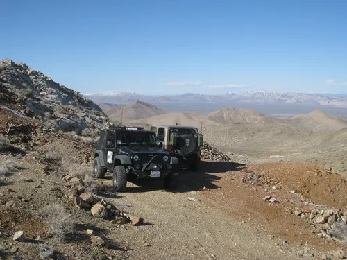
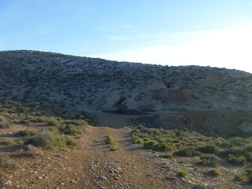
Greenwater Townsite Road (South) – Death Valley National Park

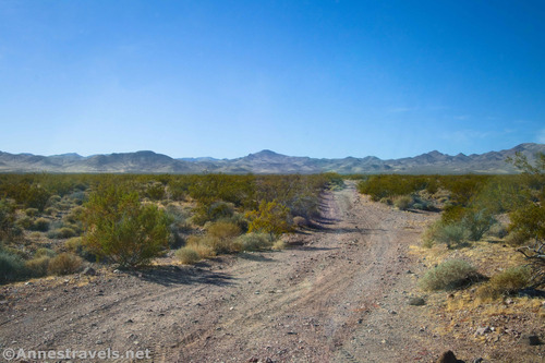
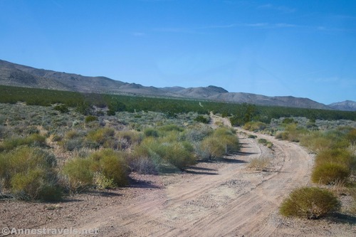
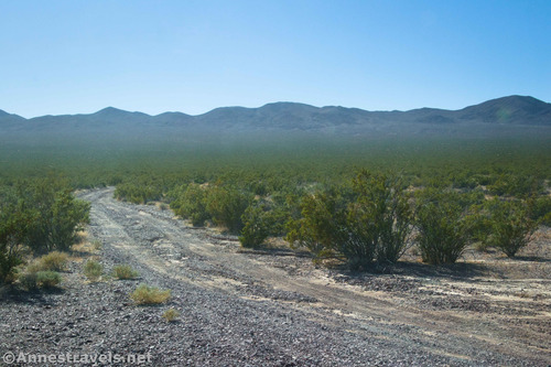
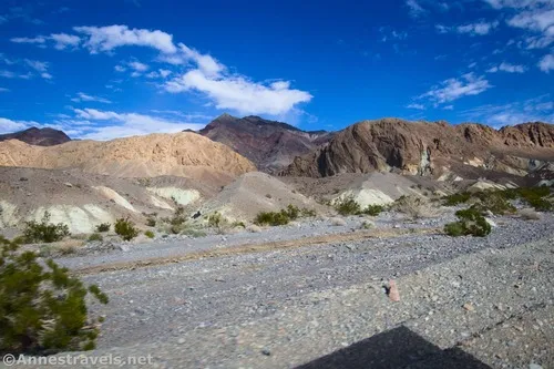
This is the southerly of the two roads leaving the Greenwater Valley Road to approach Greenwater Townsite. From Greenwater, it continues northwest to meet the Furnace Townsite Road. Total Distance: 5.6 miles point-to-point Elevation Gain: 1,077ft. up, 192ft. down (3,880ft. to 4,765ft.) Road Difficulty: 1.8 (high clearance required) Bicycle Difficulty: More Difficult View Rating: Author’s […]

Furnace Townsite Road – Death Valley National Park

Take a high clearance dirt road off of the Greenwater Valley Road to the quiet site of a tent city. Total Distance: 4.0 miles point-to-point (dead end) Elevation Gain: 1,582ft. up, 4ft. down (3,480ft. to 5,057ft.) Road Difficulty: 1.8 (high clearance required) Bicycle Difficulty: Very Difficult View Rating: Author’s Rating: Visitor Rating: Visitor Difficulty Rating: […]

Greenwater Valley Road – Death Valley National Park

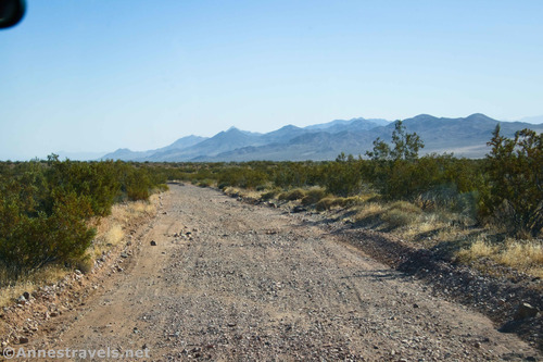
Follow a high-clearance-required dirt road between the Greenwater Range and the Black Mountains to access historic and beautiful sites. Total Distance: 28.3 miles point-to-point Elevation Gain: 897ft. up, 2,026ft. down (2,101ft. to 4,060ft.) Road Difficulty: 1.5 (high clearance recommended due to washboard) Bicycle Difficulty: More Difficult View Rating: Author’s Rating: Visitor Rating: Visitor Difficulty Rating: […]

Hole in the Wall Road – Death Valley National Park

Gravel/dirt road that gives access to Hole in the Wall and an old (mostly undeveloped) mining area. Total Distance: 6.0 miles point-to-point (dead end) Elevation Gain: 1,573ft. up, 5ft. down (992ft. to 2,562ft.) Road Difficulty: 1.2 for the first 3 miles; 2.0 beyond Bicycle Difficulty: More Difficult View Rating: Author’s Rating: Visitor Rating: Visitor Difficulty […]

Lee’s Camp Road – Death Valley National Park

Rough gravel/dirt road through mining country in the Funeral Mountains and past Lee’s Camp to a point near the “town” of Amargosa Valley. Total Distance: 18.2 miles point-to-point Elevation Gain: 1,658ft. up, 2,849ft. down (2,381ft. to 4,857ft.) Road Difficulty: 2.5+; 2.0 for southern 3 miles; 1.6 for northern 7.6 miles Bicycle Difficulty: Very Difficult View […]

Monarch Canyon Road – Death Valley National Park

Rough dirt road down Upper Monarch Canyon to an old miner’s trail. Total Distance: 0.7 miles point to point (dead end) Elevation Gain: 12ft. up, 237ft. down (3,512ft. to 3,287ft.) Road Difficulty: 1.8 Bicycle Difficulty: More Difficult View Rating: Author’s Rating: Visitor Rating: Visitor Difficulty Rating: Pets: Leashed Horses: Yes Best Seasons: October-May Special Permits: […]

Chloride Cliffs Road – Death Valley National Park

Dirt road from US-95 to the Chloride City Road. Total Distance: 11.5 miles point-to-point Elevation Gain: 1,554ft. up, 119ft. down (2,913ft. to 4,405ft.) Road Difficulty: 2.0 Bicycle Difficulty: More Difficult View Rating: Rating: Visitor Rating: Visitor Difficulty Rating: Pets: Leashed Horses: Yes Best Seasons: October-May Special Permits: None Water Availability: None Overnight Options: Dispersed camping […]

Chloride City Road – Death Valley National Park

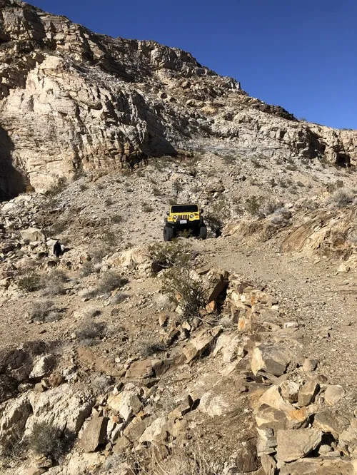
Rough dirt road to the site of Chloride City, one of the earliest mining areas in Death Valley. Total Distance: 7.5 miles point to point (dead end) Elevation Gain: 2,357ft. up, 498ft. down (3,412ft. to 5,275ft.) Road Difficulty: 2.5 (1.7 for the first 2.2 miles to the Monarch Canyon Spur Road) Bicycle Difficulty: Very Difficult […]