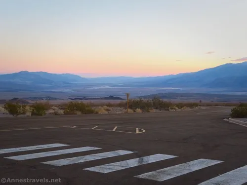
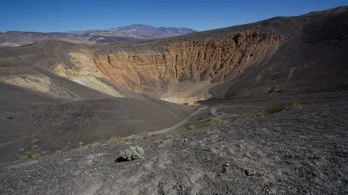
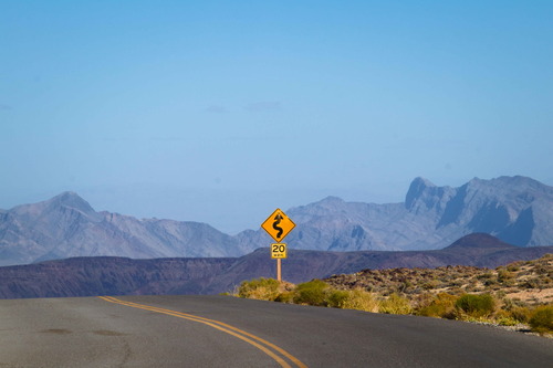
Dantes View Road – Death Valley National Park

Drive up a paved road to a spectacular viewpoint over Death Valley. Total Distance: 13.2 miles point to point (dead end) Elevation Gain: 3,528ft. up, 48ft. down (1,989ft. to 5,480ft.) Road Difficulty: 0.7 Bicycle Difficulty: Easy View Rating: Rating: Visitor Rating: Visitor Difficulty Rating: Pets: Yes Horses: No Best Seasons: October-May Special Permits: None Water […]

Corkscrew Canyon – Death Valley National Park

Hike up a wash to badlands and the wash below the top of 20 Mule Team Canyon. Total Distance: 3.8 miles out & back Elevation Gain: 469ft. (1,199ft. to 1,644ft.) Difficulty: Moderate 0-5 Mile Difficulty: Moderately Strenuous View Rating: Author’s Rating: Visitor Rating: Visitor Difficulty Rating: Pets: No Horses: Yes Best Seasons: November-April Special Permits: […]

Mesquite Sand Dunes – Death Valley National Park

A trailless hike through Death Valley’s most famous sand dunes. Total Distance: 2.2 miles out & back Elevation Gain: 260ft. (-37ft. to 88ft.) Difficulty: Easy 0-5 Mile Difficulty: Moderate View Rating: Author’s Rating: Visitor Rating: Visitor Difficulty Rating: Pets: No Horses: No Best Seasons: November to April Special Permits: None Water Availability: None Overnight Options: […]

CA-190: Furnace Creek to Stovepipe Wells

The main road through Death Valley between Furnace Creek and Stovepipe Wells. This guide begins where CA-190: Eastern border to Furnace Creek leaves off at Stovepipe Wells and connects to CA-190: Stovepipe Wells to Western Border. Total Distance: 24.2 miles point to point Elevation Gain: 1,049ft. up, 886ft. down (-249ft. to 150ft.) Road Difficulty: 0.6 […]

Echo Canyon Road – Death Valley National Park

Gravel/dirt road that gives access to Eye of the Needle Arch and the Inyo Mine. Total Distance: 10.9 miles point to point Elevation Gain: 3,729ft. up, 27.5ft. down (410ft. to 4,120ft.) Road Difficulty: 1.4 for the first 3 miles; 2.0 beyond Bicycle Difficulty: Very Difficult View Rating: Author’s Rating: Visitor Rating: Visitor Difficulty Rating: Pets: […]

Beatty Cutoff Road – Death Valley National Park

Cutoff road between CA-190 and the Daylight Pass Road. The southern end is at Beatty Junction and the northern end is at Hell’s Gate. Total Distance: 10.0 miles point to point Elevation Gain: 2,502ft. gain, 32ft. loss (-201ft. to 2,269ft.) Road Difficulty: 0.6 Bicycle Difficulty: Easy View Rating: Rating: Visitor Rating: Visitor Difficulty Rating: Pets: […]

Keane Wonder Access Road – Death Valley National Park

The gravel road used to access the Keane Wonder Trailhead. Total Distance: 2.8 miles point to point (dead end) Elevation Gain: 665ft. up, 230ft. down (676ft. to 1,325ft.) Road Difficulty: 1.2 Bicycle Difficulty: More Difficult View Rating: Rating: Visitor Rating: Visitor Difficulty Rating: Pets: Yes Horses: No Best Seasons: October-May Special Permits: None. Gate closes […]

Ubehebe Crater Rim Trail – Death Valley National Park

Walk around the rim of a not-so-ancient cinder cone with great views. Total Distance: 1.75 mile loop (2.4 miles with Little Hebe Crater Spur Elevation Gain: 494ft. (2,514ft. to 2,873ft.) Difficulty: Easy 0-5 Mile Difficulty: Moderate View Rating: Author’s Rating: Visitor Rating: Visitor Difficulty Rating: Pets: No Horses: No Best Seasons: October-May Special Permits: None […]